Mapcom is an Authorized
Dealer of Stonex in Iraq
Commitments

We design and manufacture solutions for surveying, construction and industrial measurements, keeping in mind our key values:
- Accuracy
- Efficiency
- Reliability
- high Value for Money
- effective Support to the Users
Each solution is conceived to be accurate, easy to use and reliable, matching the highest standards of measurement tools. to let a project become an ageless landmark.
Our operations run worldwide thanks to a high skilled Distribution network capables to look after any kind of Customers needs. Thanks to an incomparable knowledge and expertise, we also deliver to the market top quality services, aimed to satisfy any pre-sales or post-sales market’s request.
Products
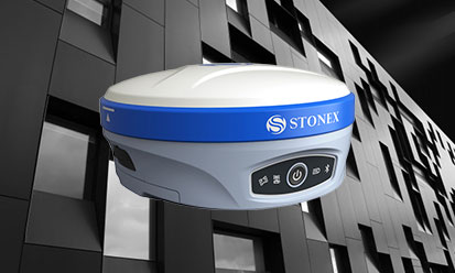
S900ANew GNSS Receiver
Powerful precision with Atlas®
Stonex S900A is equipped with an high performance GNSS board 800 channels and capable of supporting multiple satellite constellations: GPS, GLONASS, BEIDOU, GALILEO, QZSS and IRNSS, including L-Band correction. Readmore
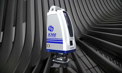
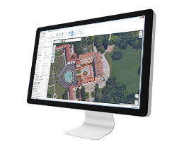
X300 LASER SCANNER
Simple, tough, accurate
Rugged by nature, the UT series by UniStrong thrives in harsh operating environments. Readmore

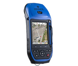
S70G GNSS RTK
Android Handheld GNSS RTK
S70G is a 4-constellation dual frequency GNSS system (GPS, GLONASS, Galileo and BeiDou) that allows to collect data and photos in the field, in an easy and fast way.Readmore

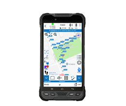
UT10 Rugged Tablet
6.0 inches | Android Rugged Tablet
Rugged by nature, the UT series by UniStrong thrives in harsh operating environments. Readmore
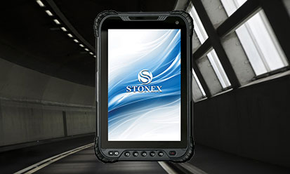
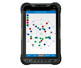
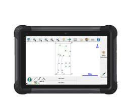
UT30 Rugged Tablet
8.0” Android Rugged Tablet
Rugged by nature, the UT series by UniStrong thrives in harsh operating environments. Readmore
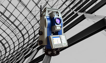
R80 Motorized Total Station
Motorized Total Station for high-precision works
Stonex R80 is a Motorized Total Station for classic jobs for survey and stakeout and perfect for high precision surveying areas, such as rail traffic monitoring, control of structures, bridges, dams and landslide areas. Readmore
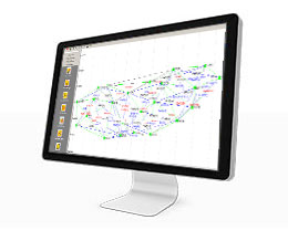
Field Solutions Software
Cube-a
Cube-connector
GeoGis
SurvCE
FieldGenius
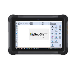
GeoGis W10
Office Solutions Software
Cube-link
Cube-manager
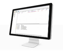
Ntrip-caster
Cube-net
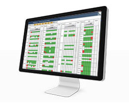
GNSMART2
Cube-fly
Cube-scan
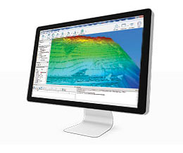
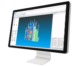
Reconstructor
Industry
