GIS & MAPPING
GIS & MAPPING
MapCom is aware of progress client’s ability to make statistic-constructed decisions. With many years’ experience in the GIS field, MapCom is capable of providing standard and up to date applications in both local and international firms in the Kurdistan Regional Of Iraq.
Our GIS team having a many years of experience and qualified, participated in ESRI training courses and have international certifications.
Softwares:
We use the following soft wares (Arc GIS, Map Info, ENVI, Surfer … etc.)
Data:
- We have a huge archive in both raster and vector data for whole Iraq (Satellite Imagery, Topographic maps, Geological maps, Base maps, DEM…etc.)
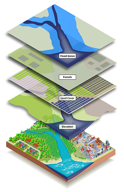
- Various layers (Road Networks, Rivers, Lakes, Governorate centers, City Center, Villages, Boundaries, etc.)
ACTIVITIES & PROJECTS
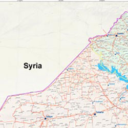
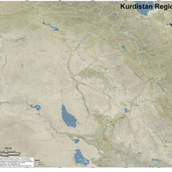
- Detailed base map for Iraq and Kurdistan Region.
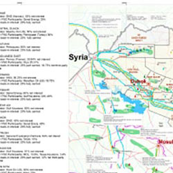
- Exploration licenses and oil fields map for Kurdistan Region.
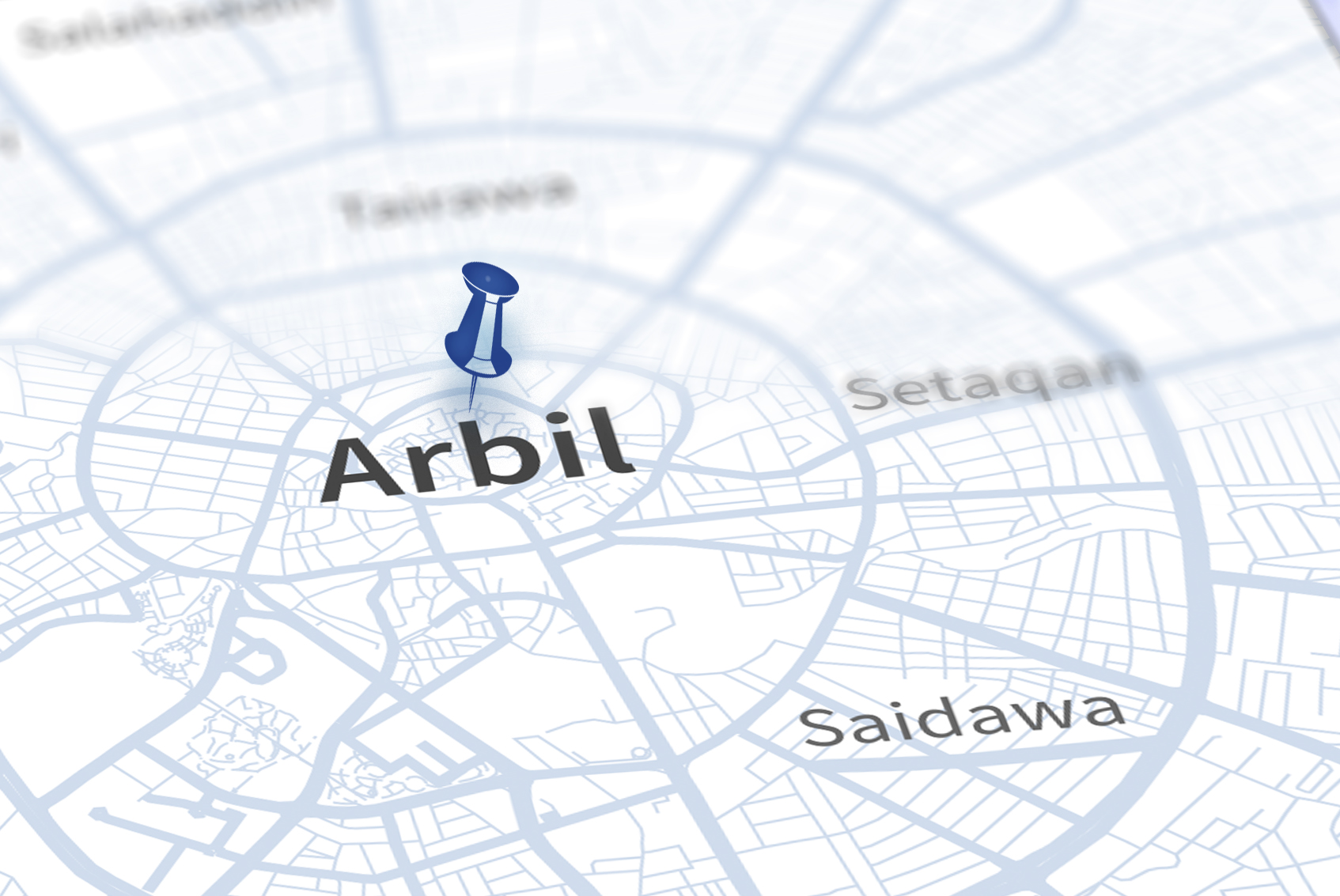
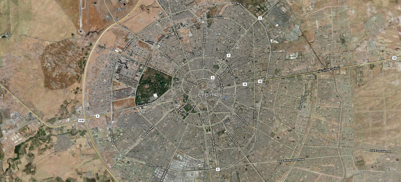
- Guide maps for (Erbil, Duhok, Sulaiymanyahand Kirkuk) cities.
- Land use maps (Desktop Study) for several of Kurdistan Oil Blocks, (Digitizing and Analyzing High Res Satellite Image).
- Designing and Printing, Various types of maps according to client's demand.
- Provision of Satellite Image , DEM, Digital GIS data.
