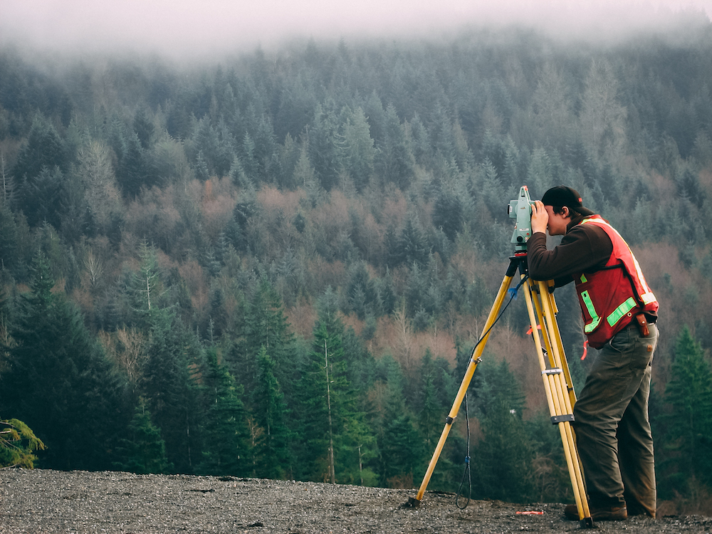
TOPOGRAPHIC & LAND SURVEY DESIGN
We have three experienced and well-trained survey teams consist of all specialties necessary for surveying and designing.
Survey Consultants
Survey Engineers
Draftsman & Designer
GIS Specialists
Surveyors
Technicians
Labors
Capability
01
Survey Department owning modern and advanced survey equipment, also using latest versions of designing software, Surveying (ground control and utility surveys) has been an integral part of MapComservice team since the company was formed in 2006. The survey services that MapComprovides encompass all aspects of the survey profession., the general characteristics for survey works and any other specific survey works may the client require.
Topographic Survey & Designing.

General Characteristics
02
Below are the general characteristics for survey works which MapCom can provide but not limited:
1.Precise and High Accuracy Topographic (Land) Survey
2.Access Road Survey & Designing
3.Well Site & Camp Site Survey & Designing
4.Installing Ground Control Points & Bench Marks
5.Survey and Designing of Oil and Gas pipeline Route/alignment
6.Calculation of earth works, bill of quantities
7.Desktop Survey Study, using 3D Models, based on DEM laid on High Res Sat-Image
8.Survey QA/QC
9.Mapping & Engineering
10.Third Party Topographic Survey Consultation, Supervision and Checking
11.High precision and RTK/GPS services including:
12.Ground control surveys for photogram metric projects, including Airborne GPS.
13.Differential GPS (DGPS).
14.Boundary and cadastral surveys.
15.Total station topographic surveys.
16.Surveys under hazardous environmental conditions.
17.Monitoring projects for structural movement.
18.Construction and cross-section surveys (from road design to precision layout and quality control).


